Quite some time has passed since I last wrote. The reasoning for this is because there hasn't been an opportunity between Silver City and Grants to update this blog. Read: no computers for almost 250 miles-what freedom! Though since this entry will be a long one, I'll split it into different subtitles.
 |
| Jammin' in Silver City |
Silver City through the Gila to Snow Lake
My compatriots and I stayed in Silver City with some lovely people the evening after my last blog entry and attempted to leave mid-morning. Due to the amount of people in town wanting to talk with us/our eating a delicious breakfast , we ended up leaving later in the morning and wandering back into the Gila (pronounced hee-la) National Forest. As we gained some elevation walking the road out of Silver City, we were taken back into the land of pine trees and shade. The wind has been a constant on this trip, so I'm very thankful when the trees become a barrier. Walking with others along the road has also been nice; we can attempt to entertain one another.
 |
Softwalker and the sunset- notice his lack
of shoes. He didn't do it all the time, but it was
refreshing to see bare foot prints ahead of me |
 |
| Softwalker on one of the first of the Gila crossings |
 |
| Frozen shoes! |
Our 2nd day from Silver City, we switch-backed down a trail to the confluence of where we began to follow the Gila River up to Doc Campbell's Post- a store that holds packages for thru-hikers. The first river crossings were novel, and then it just became wet shoes all day. Waking up to frozen shoes the next morning, the river crossings became more irritating because the cold water caused a pins-and-needles sensation from my thighs down to where I lost sensation (around ankle-height) Thanks to the scenery for making it worth getting out of my sleeping bag before 10am. Also, the lure of hot springs definitely helped! We took a day off at the hot springs campground to go see the Cliff Dwellings,and ended up getting a ride from a park ranger who worked at Mesa Verde N.P. who had come down to see how these cliff dwellings compared to the ones he worked at.
 |
| The guys in Gila Hot Springs |
 |
| Gila Cliff Dwellings |
 |
| After Doc Campbell's, heading back into the canyon |
 |
| Estero at another river crossing |
Onto more river crossings! Also, a middle of the canyon hot springs! Along the Gila River, one of our maps stated, "There are 85 crossing between here and Snow Lake" So, I began counting. I reached 83 before we hit Snow Lake. There were river crossings galore, and between the crossings in the canyon, there were thigh-high reed-like plants that would hit your wet legs and give them micro abrasions. My legs burned so badly a couple of nights that I had trouble sleeping.
 |
| Jordan hot springs! 92 degree water. |
 |
| Trail magic beers- 8:30am. Thanks, random hunters! |
Snow Lake to Pie Town
 |
| Snow Lake's water level is a bit low |
We looked at our maps at Snow Lake, and it was the last water source for quite a distance, so we filled up. It also happened to be super muddy and gross, though we're pretty used to that at this point. Eating dinner next to the bathrooms (they were a nice windbreak) at the campground, and then heading on to the waterless stretch of dirt road walking was vastly different than what we had been walking through for the past 4 days or so.
 |
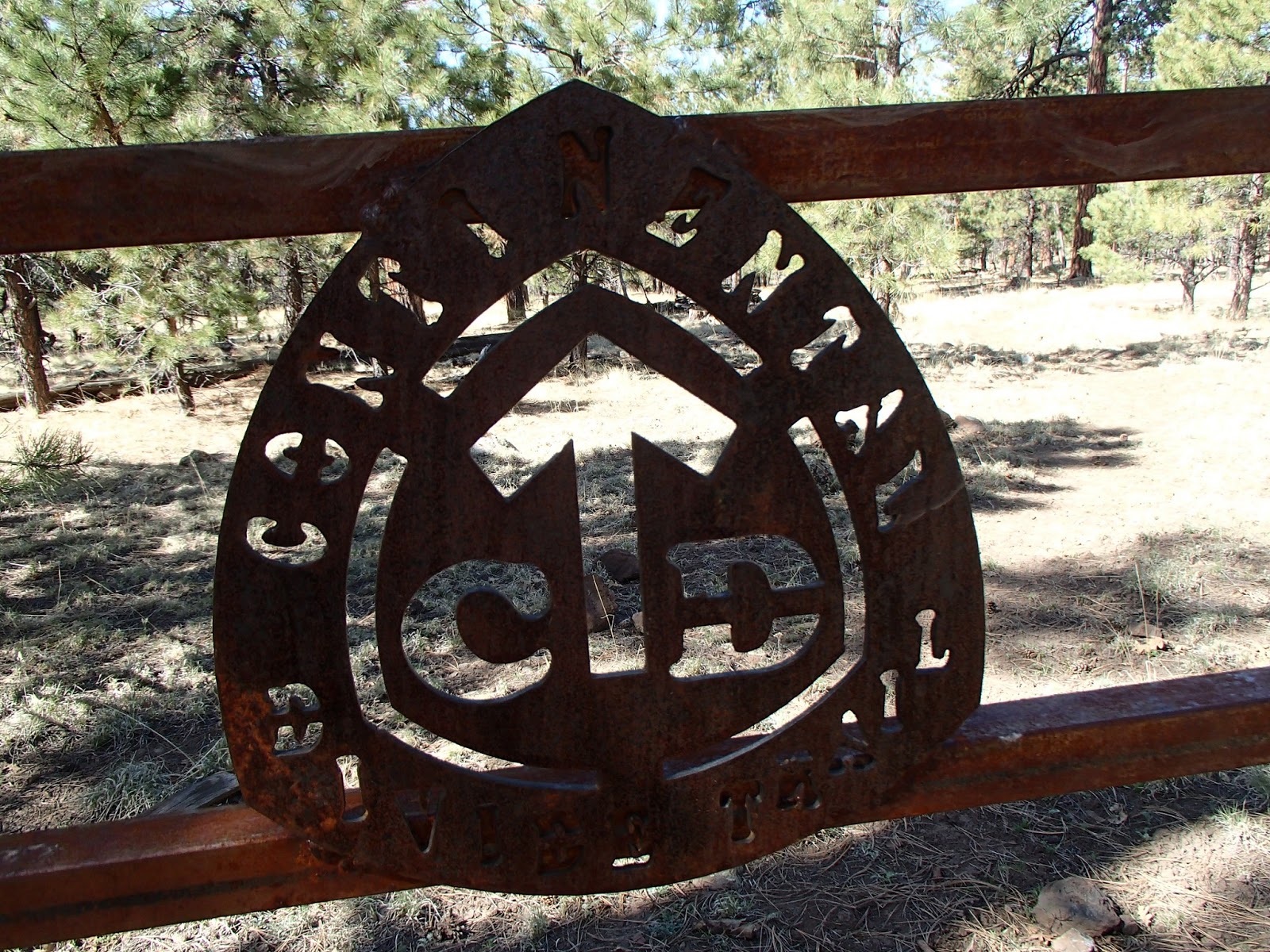
| Gate on some actual trail before Pie Town |
 |
| We found snow on Mangas Moutain! |
 |
| View from the fire tower. |
 |
| This is what the Gila River does to your legs. |
After spending a chilly night atop a ridge in a pasture, we followed a forest service road for most of the day, cutting across to another forest service road right before lunch. Unfortunately at this cut-off, we chose the wrong forest service road to follow and ended up going down a different canyon, having to backtrack, and finishing the day at 27 miles, only 20 of those being on-trail. Also, that extra mileage wreaked havoc on my feet, causing 5 or 6 new blisters to rear their angry heads. This was not only caused by the mileage, but also caused by my shoes being a bit too small in the toe area- I have wide feet.
Hobbling on waterless, exposed dirt roads for the next few days was troublesome with my feet acting up, though we did get to go into a working fire tower on Mangas Mountain as well as talk to a few of the many hunters we saw out looking for turkeys. Coming into Pie Town was a great day, I felt as though we were immediately blended into the community. A wonderful woman name Nita has opened up the house she raised her family in(nicknamed 'the toaster house' because of the unique outdoor decorations) to hikers/bikers/travelers of all kinds, and loves hearing their stories and inviting them to check out some of the local sites. We ate our fill of pie at the Pie-O-Neer restaurant, and had a couple nights of singing out on the porch of the toaster house to revive our spirits before moving on to Grants.
 |
| PIE! In Pie Town. |
 |
So many hikers in one place, they had
to get a photo...or 12. |
Pie Town to Grants
 |
| Looking for life outside Pie Town |
 |
Drop off 2 dozen fresh eggs at the toaster
house and hikers will eat them. |
 |
The only sign on the road walk out of Pie Town that didn't
read some version of "No Trespassing" |
We headed out of Pie Town and were greeted with a road walk along with light-to-medium gusting winds. This is becoming the norm for the CDT, and it makes me glad I chose to go north-bound so that I'll appreciate the actual trails even more when I am on them more often. Not only are road walks harder on the feet, I feel they're also tough on the psyche- am I on a trail here? It's a not-too-subtle reminder of how young and incomplete the trail truly is. We did get to see some native ruins, go past a beautiful arch along Hwy 117 into Grants, and see ALOT of lava rock.
 |
| Ruins up a canyon near the trail |
My feet are also hurting, to the point of generally having to focus on my breathing to abet the pain for the few hours of walking between breaks. Over the past few days- a couple before Pie Town and a couple after- I've had to be selective about which blister was causing the most pain so I could pop it that day. The rest in Pie Town helped, but did not solve my problem. Which is why I asked my resupplier extraordinaire, Fidget, to send me new shoes in Grants. I currently also have an ankle-sized lump an inch or so above my right ankle that I've started referring to as my third ankle- it doesn't hurt and I have no idea how it got there- any thoughts?
 |
| A blister under a blister? Yea, that. |
Looking ahead, it looks as though the trail becomes trail and we get to go up in elevation from the around 6,000ft we've been at since about Silver City. It'll be exciting to see what else New Mexico will throw at us, I'm looking forward to it!
 |
| Road walking to the arch |